Samada ia suatu berita baik atau berita buruk kepada pembeli-pembeli rumah di Idaman Bayu, setakat posting ini ditulis, semua rumah telah pun disiapkan dan sekarang dalam proses pembersihan dan hanya menunggu penyambungan elektrik dan air sahaja. Kami berkesempatan untuk meninjau-ninjau kawasan sekeliling serta melakukan kerja-kerja pemetaan jalan. Tetapi agak malang kerana kami terlupa untuk merekodkan perjalanan kami ke dalam mode "1 second tracklog" yang dilakukan menggunakan unit GPS kami. Sebaliknya rekod pemetaan disimpan dalam format ".gdb" yang mana point-to-point recording agak panjang serta rawak dan ini menyebabkan rekod koordinat yang disimpan tidak begitu tepat dan tidak sesuai untuk pembuatan peta GPS navigator.
Whether it is a good news or bad news for the house buyers of Idaman Bayu, Bandar Sri Sendayan, all houses are almost completed by the developer and as of this posting, some houses are under cleaning progress and electrical supply as well as water supply are yet to be connected. Having arrived at the site (or from now on, fit to be called housing area) to see the progress of the construction, we were allowed by the security guard to come in to see the actual unit of our house. Since I brought together my bloody GPS device with me, I took this damn opportunity to do mapping of the roads inside the compound. But thanks to my silly mistake which I forgot to switch on the 1sec tracklog in the GPS, all the track recorded were not sufficiently accurate to be used in GPS street mapping. Well, it is enough for me to present to you all, dear readers, roughly where the hell on earth the Ivanix Idaman Bayu, Bandar Sri Sendayan is.

Above diagram shows the plotting done by the GPS navigator being superimposed onto the existing map that was provided by Malfreemaps. As you may see, we missed 1 street in our tracking process. This is very common for a tracker that do not work in systematic manner. But......this kind of tracker is very good at extrapolating. The street that was not recorded, is plotted manually through estimation.
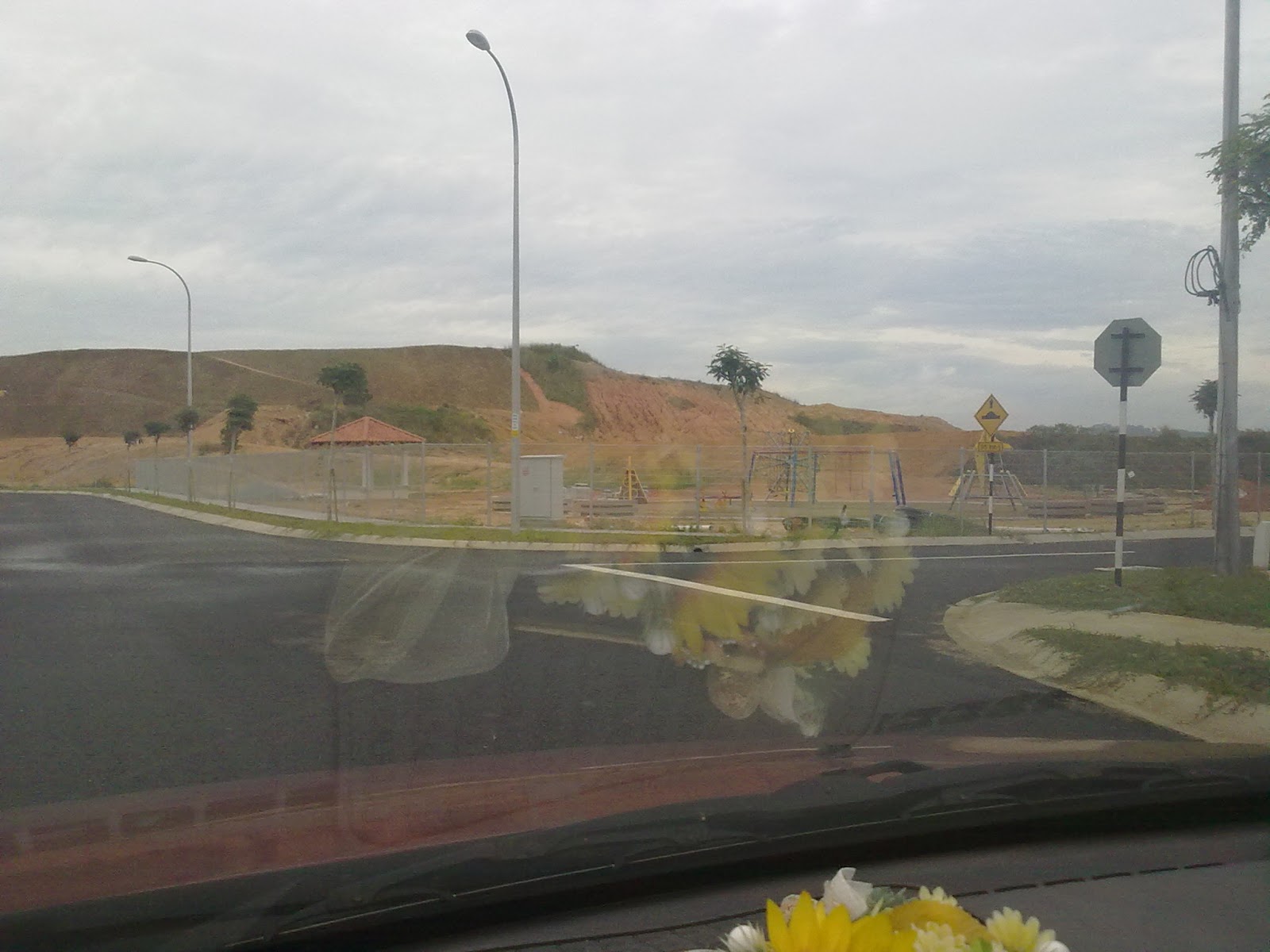
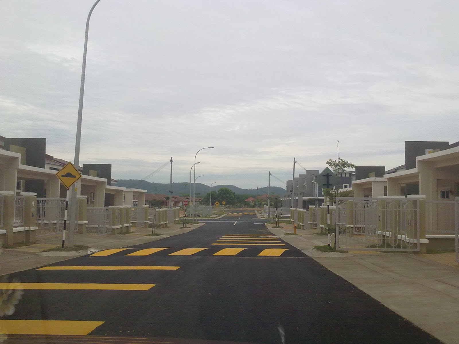
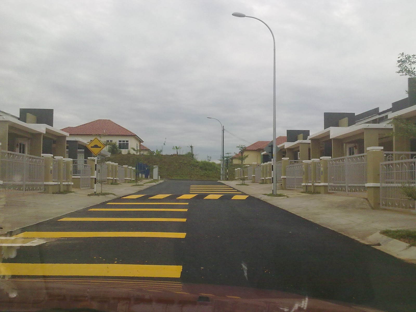
Di bawah disertakan imej-imej yang diambil semasa lawatan dan ia juga akan diletakkan di dalam google maps setelah ia di"approve"kan untuk tontonan umum.
Below are some images that were taken during the visit and have already been uploaded to google maps. Image are ready for viewing on google maps once approved by the admin.

The tracks are also overlaid to the satelite imagery to visually indicate the actual location of the site on earth. Since the satelite image was taken on 20/08/2003, the land was at that time still a thick jungle.


0 komen:
Post a Comment